Sale on canvas prints! Use code ABCXYZ at checkout for a special discount!

Previous Image

|

Next Image
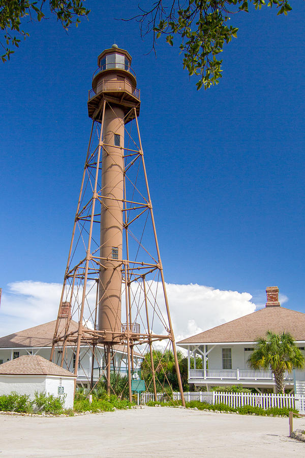
Sanibel Island Light Photograph by Nautical Chartworks

Similar Images

Pine Island Sound, NOAA Chart 11427_2 by Nautical Chartworks
Caloosahatchee River including Cape Coral and Fort Myers, NOAA Chart 11427_1 by Nautical Chartworks
Fort Myers to Charlotte Harbor and Wiggins Pass, NOAA Chart 11427 by Nautical Chartworks
Fort Myers FL, Custom Chart by Nautical Chartworks
Chokoloskee Bay and Ten Thousand Islands, NOAA Chart 11430_1 by Nautical Chartworks
Naples Bay, NOAA Chart 11429_2 by Nautical Chartworks
Ten Thousand Islands, NOAA Chart 11430_4 by Nautical Chartworks
Chatham River to Clam Pass, NOAA Chart 11429 by Nautical Chartworks
ST. Lucie Inlet to Fort Myers and Lake Okeechobee Florida NOAA Chart 11428 by Nautical Chartworks
Havana to Tampa Bay, NOAA chart 11420 by Nautical Chartworks
Key West to the Mississippi River NOAA Chart 11006 by Nautical Chartworks
Captiva Island and North Captiva Island Florida by Nautical Chartworks
Tampa Bay to Cape San Blas NOAA Chart 1114A by Nautical Chartworks
Estero Bay, NOAA Chart 11427_3 by Nautical Chartworks
Sanibel and Captiva Islands, Custom Chart by Nautical Chartworks
Lostmans River to Wiggins Pass, NOAA Chart 11430 by Nautical Chartworks
Lostmans River, NOAA Chart 11430_2 by Nautical Chartworks
Marco Island and Keewaydin Island, NOAA Chart 11430_3 by Nautical Chartworks
Wiggins Pass to Clam Pass, NOAA Chart 11430_5 by Nautical Chartworks
East Cape to Mormon Key, NOAA Chart 11431 by Nautical Chartworks

Recently Viewed

Sanibel Island Light by Nautical Chartworks
Previous Image Next Image