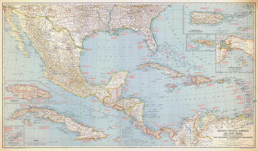
Southern US, Mexico, Central America and the West Indies 1939 #1

by Nautical Chartworks
Title
Southern US, Mexico, Central America and the West Indies 1939 #1
Artist
Nautical Chartworks
Medium
Digital Art - Nautical Charts And Artwork
Description
Southern US, Mexico, Central America and the West Indies 1939. National Geographic Society map with inserts for Bermuda, Jamaica, Cuba, Panama Canal Zone, St. Thomas, Puerto Rico and the US Virgin Islands.
Uploaded
January 29th, 2024
Embed
Share


