Sale on canvas prints! Use code ABCXYZ at checkout for a special discount!

Previous Image

|

Next Image
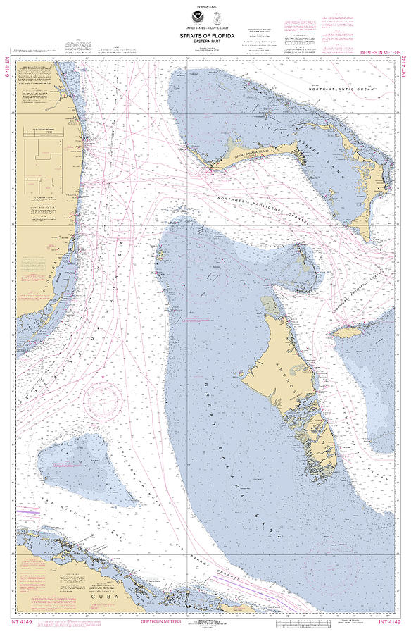
Straits of Florids, Eastern part NOAA chart 4149 edited. Digital Art by Nautical Chartworks

Similar Images

Useppa,Cabbage Key,Cayo Costa Nautical chart by Nautical Chartworks
Longboat Key Florida NOAA Chart 11425_3 by Nautical Chartworks
Sugarloaf Key to Key West, NOAA Chart 11446 by Nautical Chartworks
Estero Bay to Lemon Bay, NOAA Chart 11426 by Nautical Chartworks
Key West Harbor and Approaches, NOAA chart 11441 by Nautical Chartworks
Marathon and Duck Keys Custom NOAA Nautical Chart by Nautical Chartworks
Sanibel and Captiva Islands Nautical Chart by Nautical Chartworks
Pine Island Sound, NOAA Chart 11427_2 by Nautical Chartworks
Cedar Keys, NOAA Chart 11408_3 by Nautical Chartworks
Florida Keys, Sombrero to Dry Tortugas, NOAA Chart 11434 by Nautical Chartworks
Sand Key to Rebecca Shoal, NOAA Chart 11439 by Nautical Chartworks
Florida Keys Sombrero to Sand Key, NOAA Chart 11442a by Nautical Chartworks
Matecumbe to Grassy Key, NOAA Chart 11449 by Nautical Chartworks
Florida Keys Alligator Reef to Sombrero Key, NOAA Chart 11452 by Nautical Chartworks
Grassy Key to Bahia Honda Key, NOAA Chart 11453 by Nautical Chartworks
Cape Canaveral to Key West, NOAA Chart 11460 by Nautical Chartworks
Miami to Elliott Key, NOAA Chart 11465 by Nautical Chartworks
Key West Harbor, NOAA Chart 11447 by Nautical Chartworks
Key West, Florida by Nautical Chartworks
Snow Passage Key Reef To Point Colpoys Alaska, Noaa Chart 17383 by Nautical Chartworks

Recently Viewed

Straits of Florids, Eastern part NOAA chart 4149 edited. by Nautical Chartworks
Previous Image Next Image